Blog
FOSSGIS
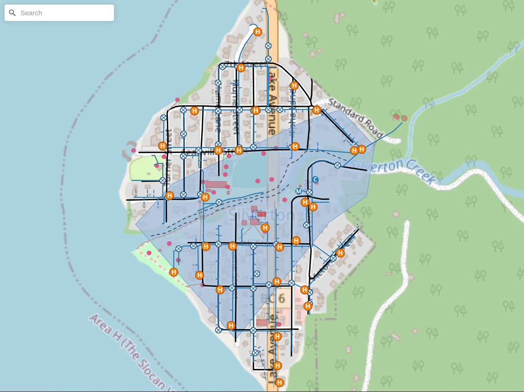
How to Use Custom Icons in Maputnik (Sprite Sheet Guide)
Learn how to compile custom SVG icons into a Maputnik-friendly sprite sheet using spritezero-cli. We cover generation, GitHub hosting, and symbol layer setup.

Jeremy Prior
July 17, 2026
· 4 min read
GIS
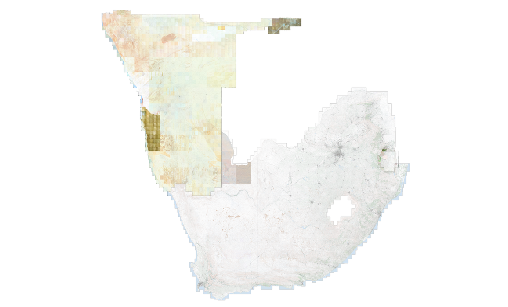
Unlocking the World in Your Classroom: Namibia & eSwatini Topo Sheets, New Thematic Projects, and Dynamic Indexes
The SAGTA Map Downloader just levelled up! Discover new Namibia and eSwatini topo sheets, dynamic map indexes, and rich thematic mapping projects built for the modern Geography classroom.
Jeremy Prior
July 9, 2026
· 7 min read
GIS
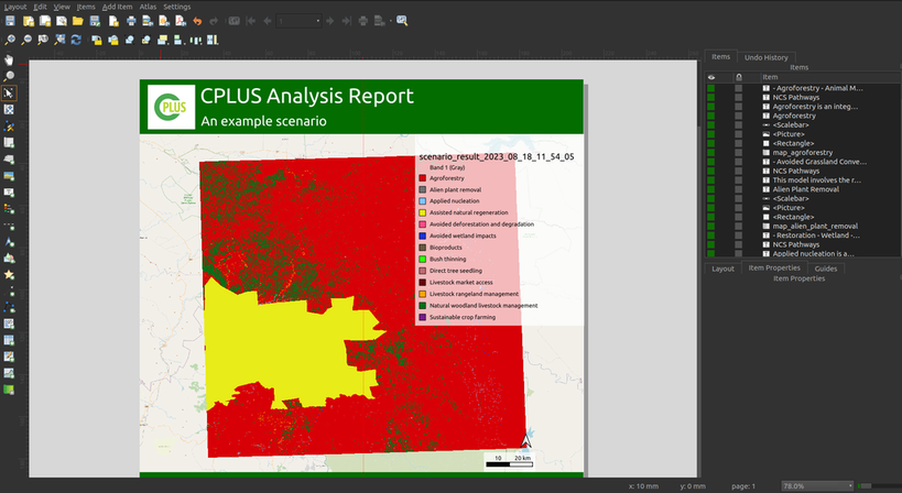
Mapping a Sustainable Future: A Real-World Use Case for Open-Source GIS in Conservation
Explore real-world use cases of open-source GIS in conservation. Learn how Kartoza builds custom FOSS tools to help organisations manage spatial data.
Jeremy Prior
May 11, 2026
· 4 min read

GeoServer
Rendering Points as a Heatmap in GeoServer
A brief walk through on how an SLD to render a Heatmap with Labelled Clusters was made for GeoServer.
Jeremy Prior
January 17, 2025
· 10 min read